

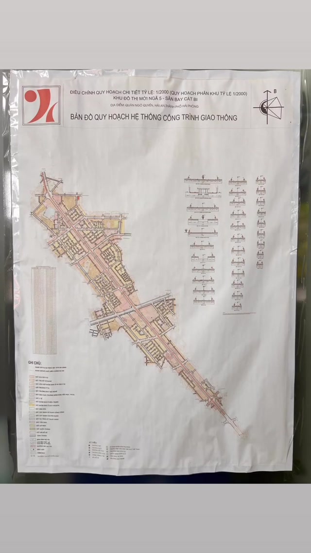
Bản đồ 1/2000 niêm yết tại UBND phường gia viên !!!

• 1h ago
How-toA detailed 1/2000 scale urban planning map is displayed, showing land use and infrastructure for Gia Viên Ward, Ninh Bình Province, Vietnam. The map includes labeled zones, road networks, and a legend, with Vietnamese text indicating it’s an official development plan. The visual focuses on the technical layout of the ward’s land use, likely for public consultation or administrative purposes. The frames show slight shifts in camera angle, emphasizing different sections of the map, including a table of land use statistics and a compass rose. This is a clear example of a technical planning document used in local governance and urban development.
0 Comments
Login to comment